StarMap Workshop
A hands-on workshop on interactive exploration and visualization of large geospatial datasets using StarMap. Participants learned how to work with geospatial data, build visualizations, and experiment with styling workflows, including LLM-assisted approaches.
April 13, 2026
UC Riverside
Multidisciplinary Research Building, 1110 Seminar Room - 1st Floor
9:00 AM – 4:00 PM
Lunch: 12:00 – 1:00 PM
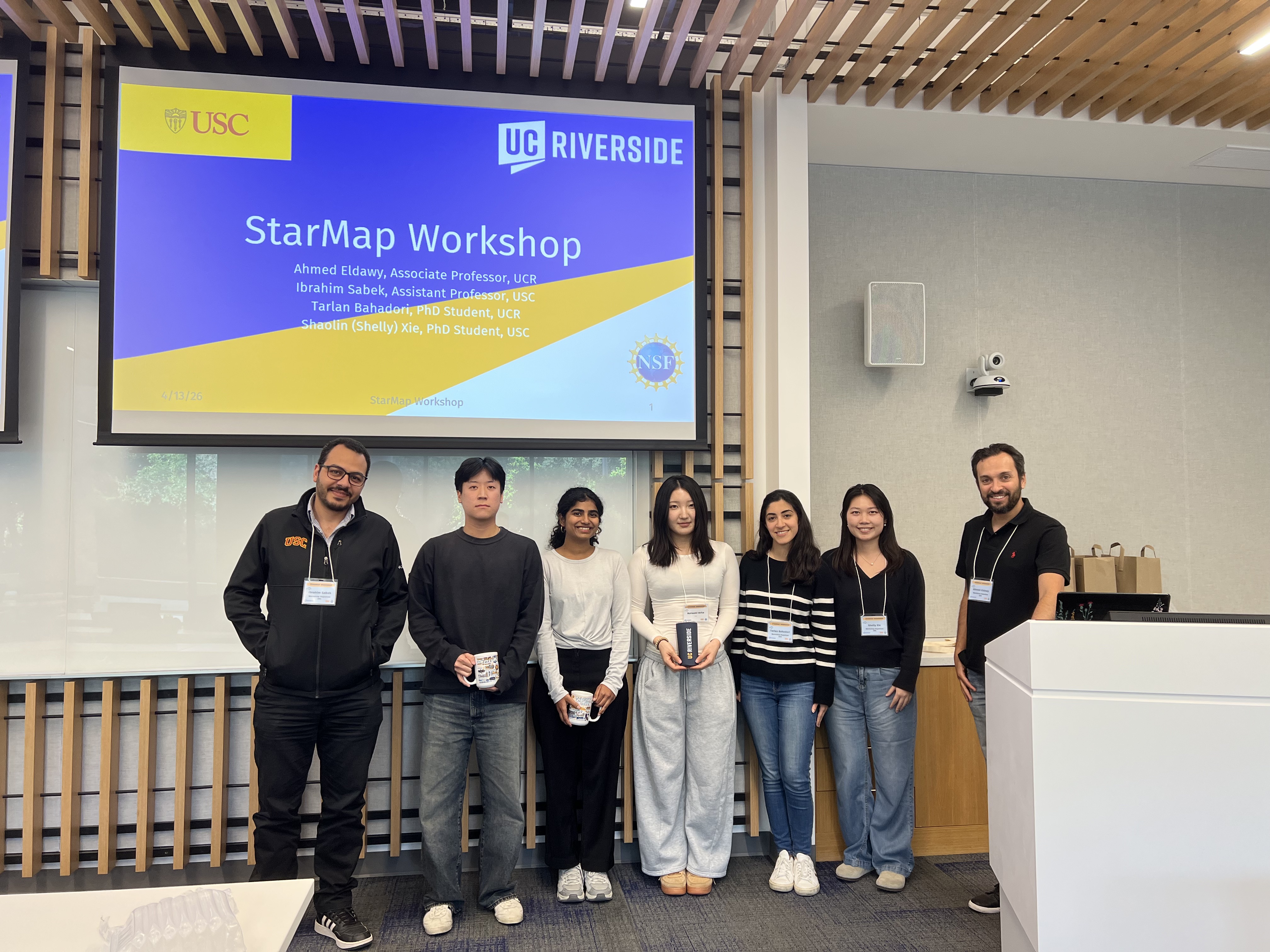
Workshop Highlights
A few highlights from the StarMap Workshop, including winning teams from each session.
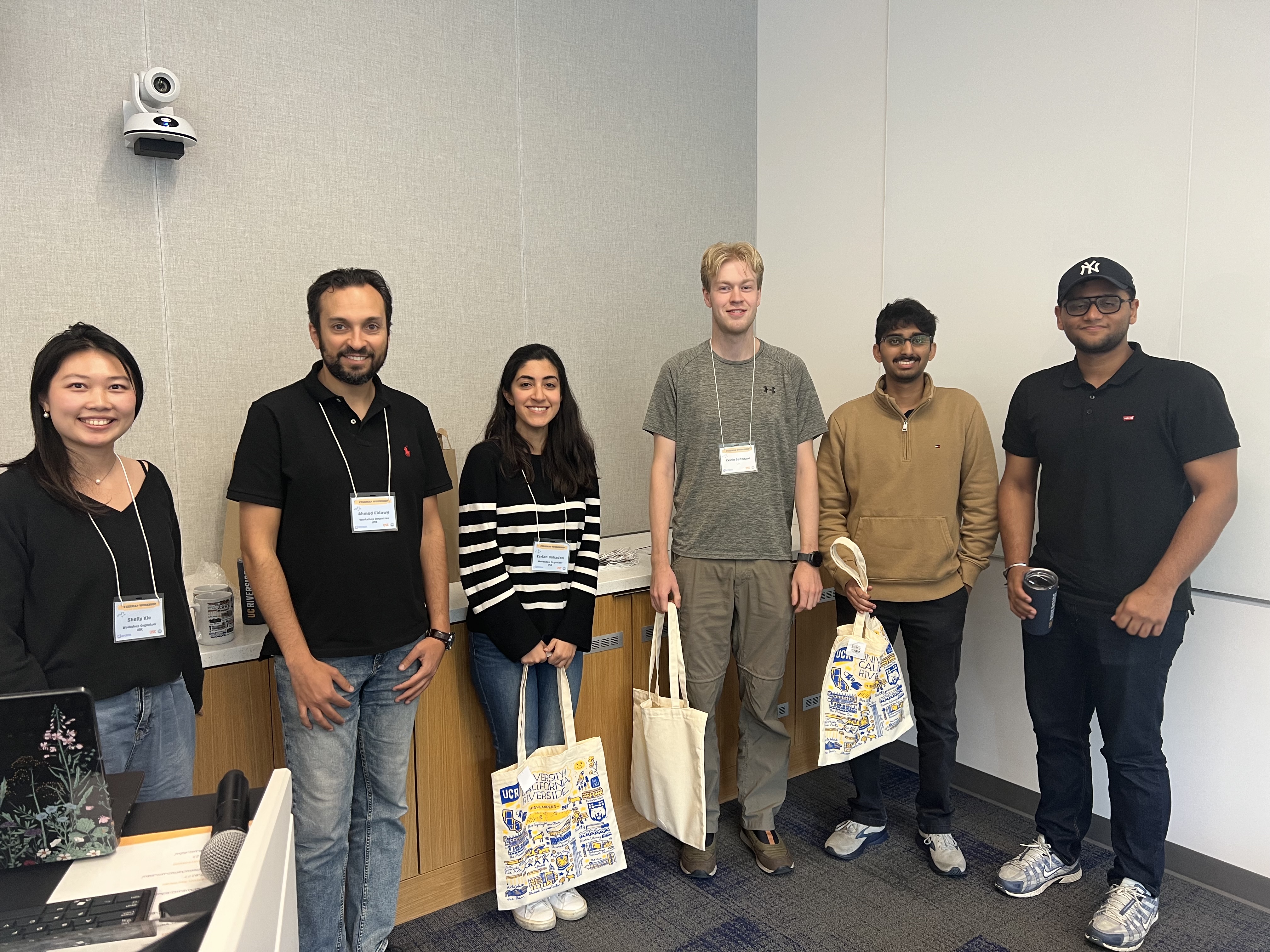
Session 1 — 1st Place Team
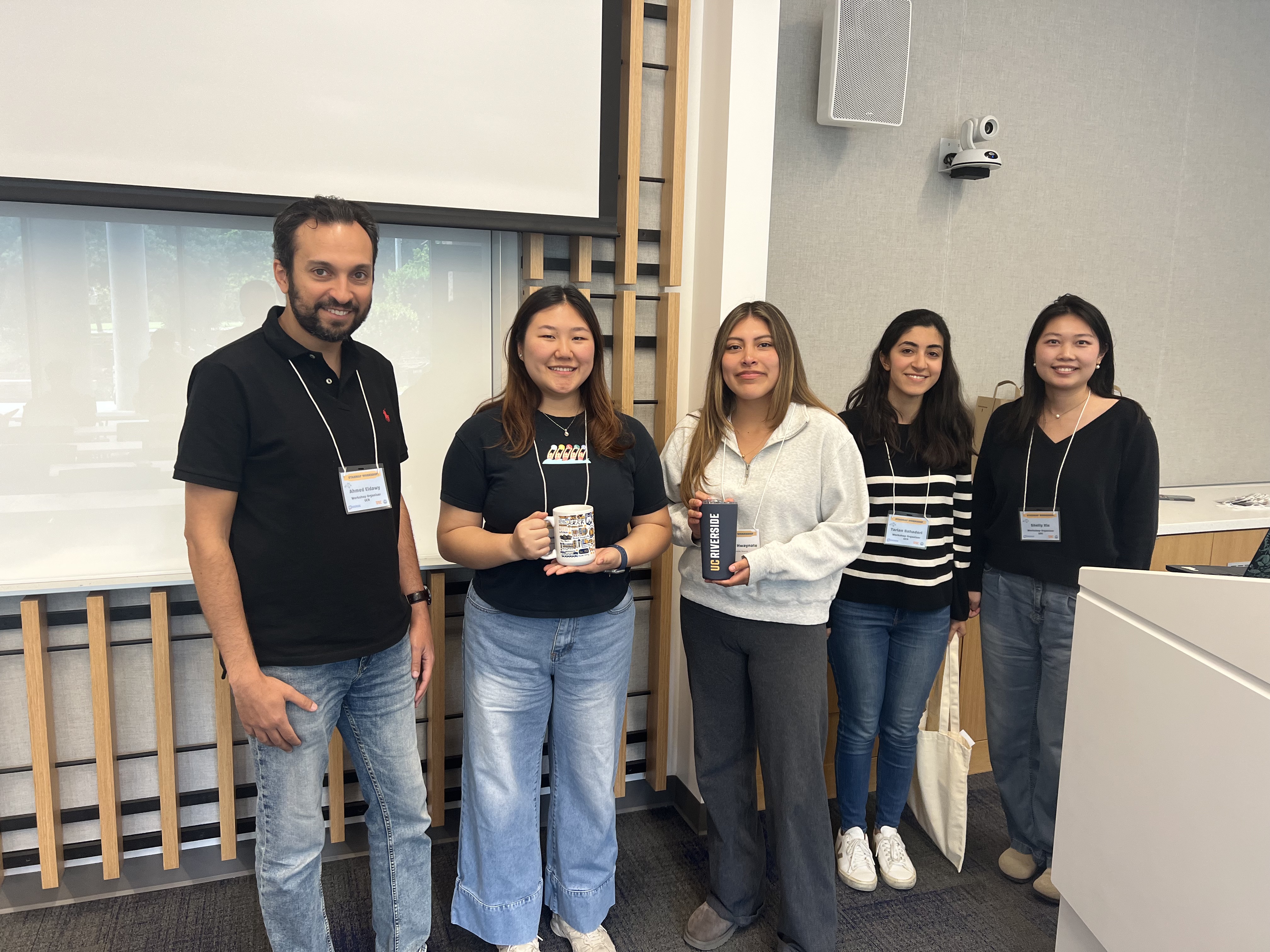
Session 1 — 2nd Place Team
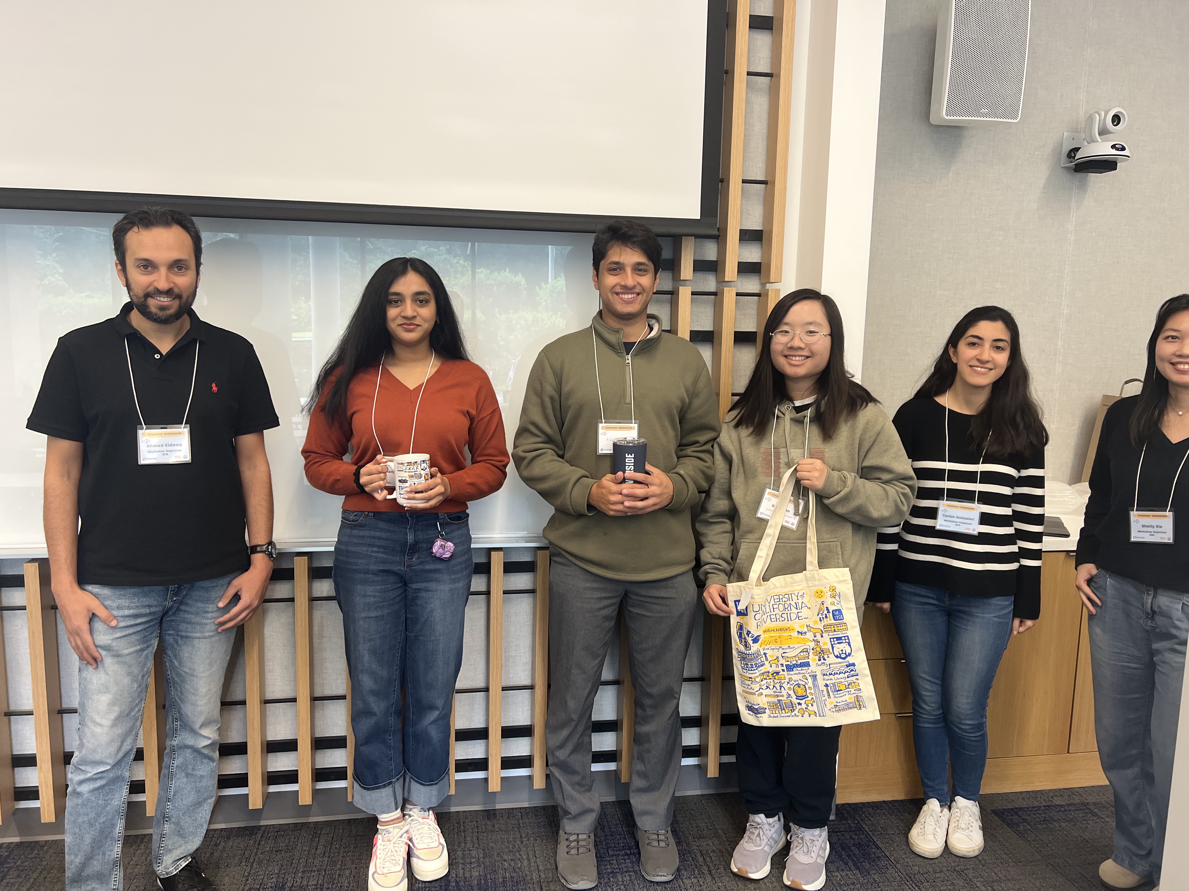
Session 1 — 3rd Place Team
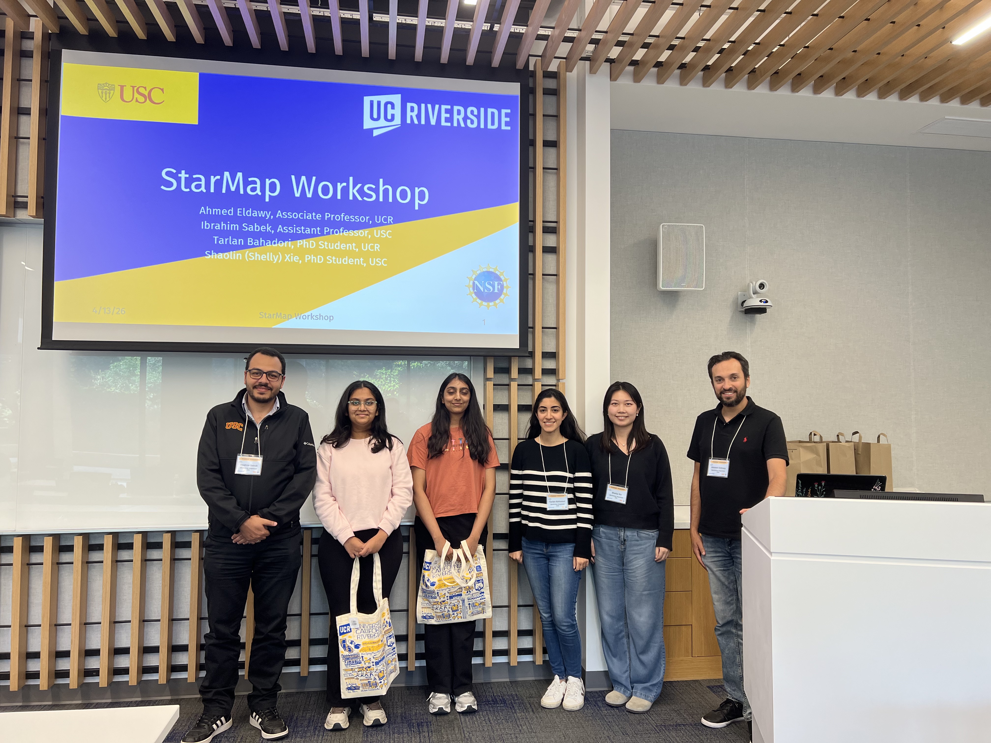
Session 2 — 1st Place Team
Session 2 — 2nd Place Team
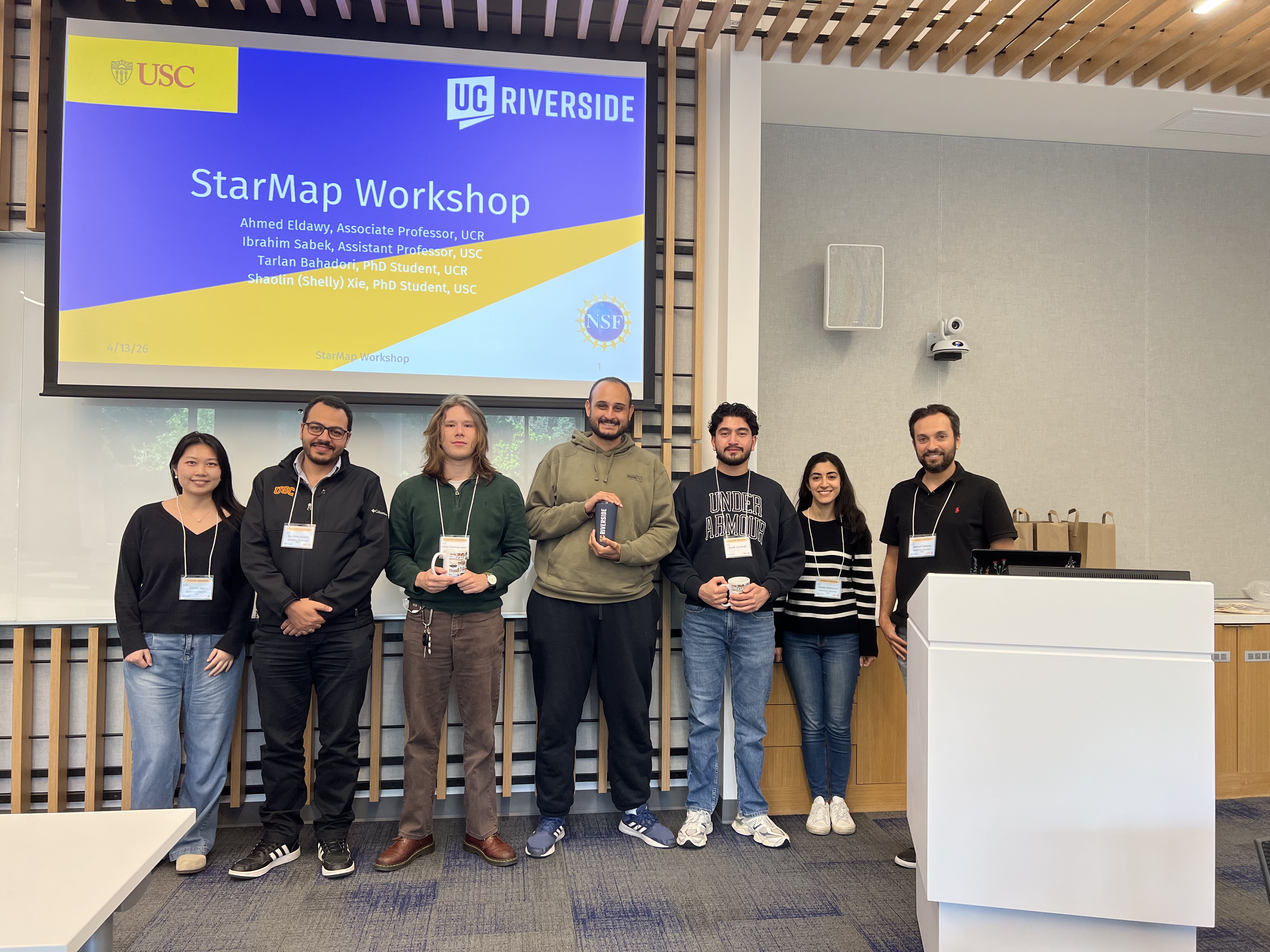
Session 2 — 3rd Place Team
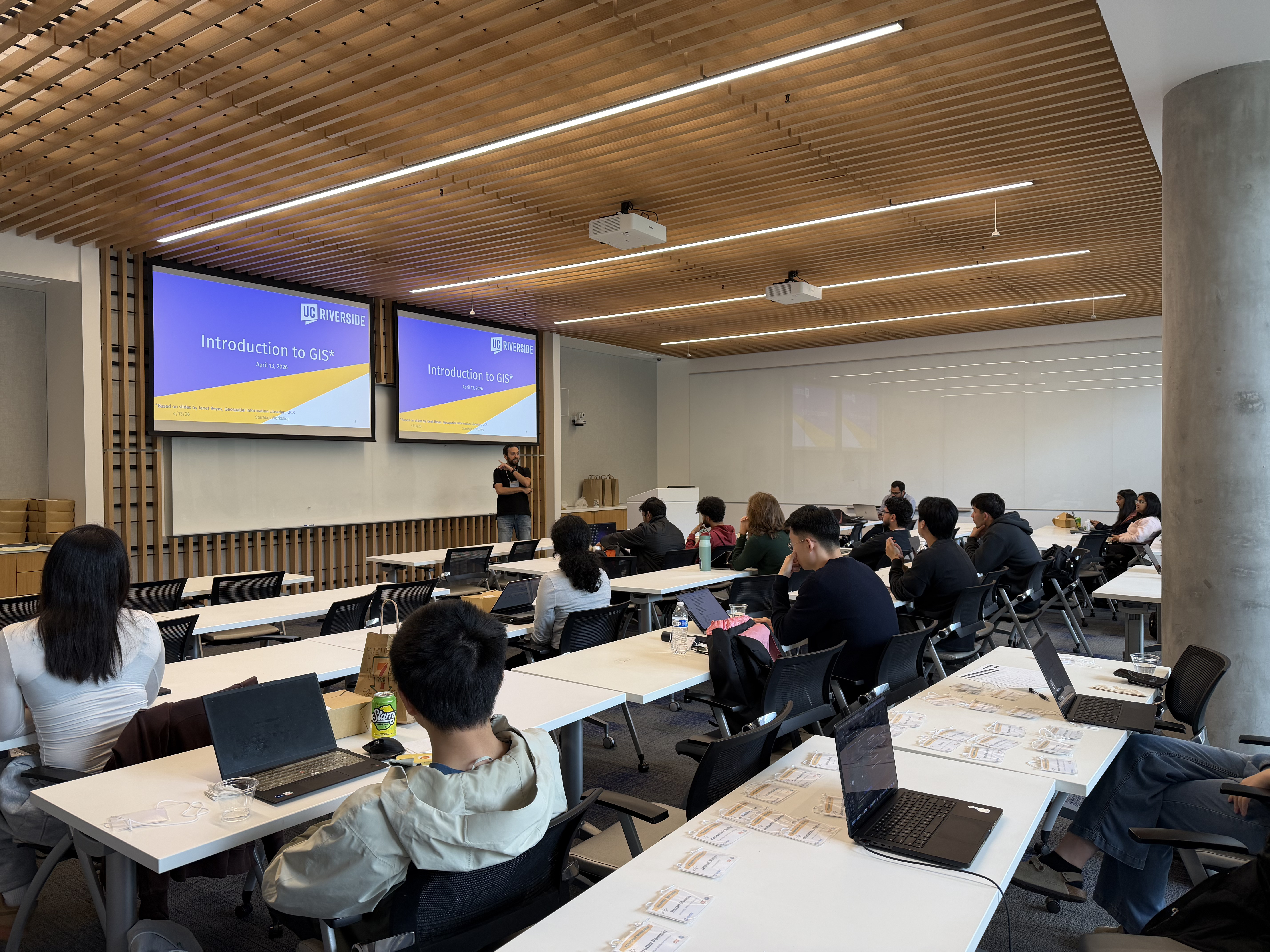
Introduction to GIS
Presentation of Introduction to GIS by Prof. Ahmed Eldawy.
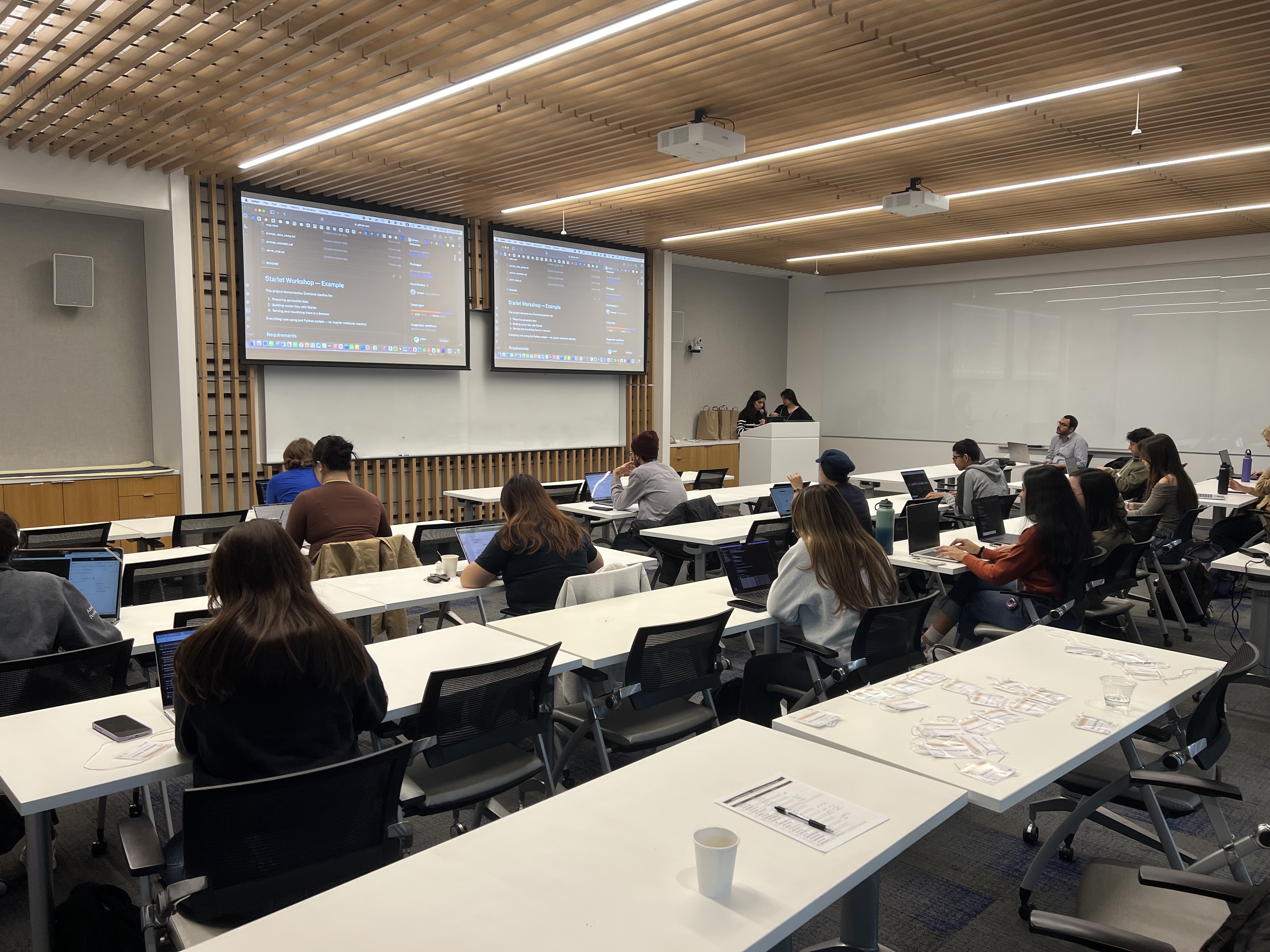
Hands-On Session
Walking through example for generating index, tiles, and visualization using STARLET package.
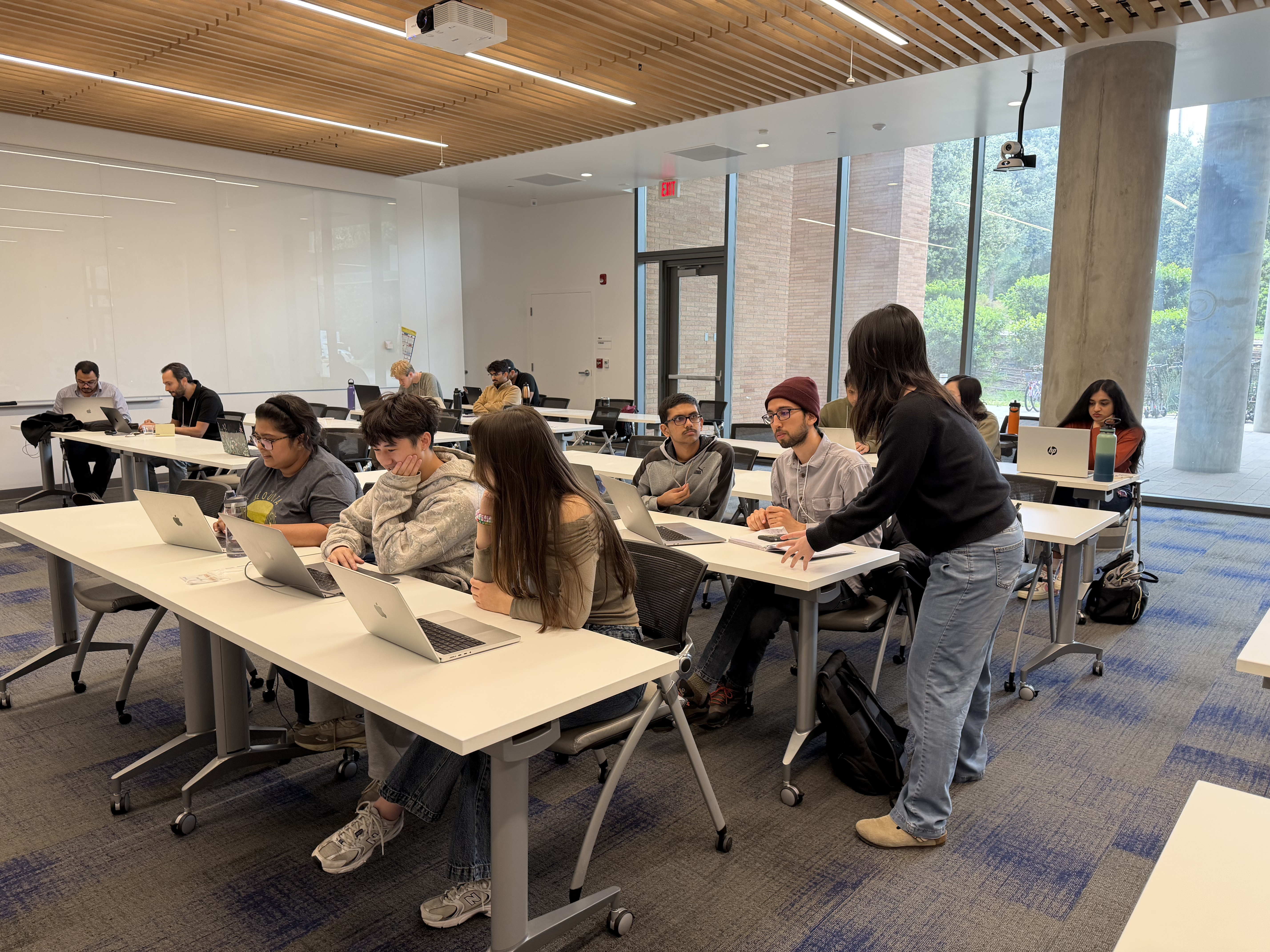
Competition
Workshop participants working in teams to finish competition tasks.
About the Workshop
Large geospatial datasets such as road networks, buildings, mobility traces, and environmental observations can be difficult to explore interactively. This workshop introduced StarMap, a system designed to support scalable and responsive visualization of such datasets.
Participants learned the workflow for exploring spatial data, generating visualizations, and applying styling techniques for effective map design.
Who Should Attend
- Students or researchers working with geospatial data
- Developers interested in scalable map visualization
- Anyone curious about spatial data exploration
Learning Goals
- Understand the basics of geospatial data and visualization
- Learn the StarMap workflow and CLI
- Download and visualize spatial datasets
- Experiment with map styling and LLM-assisted workflows
- Participate in a styling competition and discuss results
Workshop Schedule
Morning Session
9:00 AM – 12:00 PM
Introduction & Hands-On Setup
Introduction to Geospatial Data and Visualization
Overview of spatial data, mapping concepts, and interactive visualization.
StarMap Background, CLI, and Setup
Introduction to Starlet package, building index and pyramid partitioning, MVT generation. Show an example visualization.
StarMap Hands-On Example
We worked through an example together, creating a new dataset, building the index and tiles using Starlet, and generating a stylized map with LLM-assisted workflows.
Competition and Results
Competition Introduction
Overview of the styling challenge, goals, rules, and judging criteria.
Competition
Participants worked on their own styling approaches and experimented with different design and LLM-assisted workflows.
Results Presentation and Winners
Presentation of selected results, discussion, and announcement of competition winners.
Lunch
12:00 PM – 1:00 PM
A shared lunch break between sessions for all participants attending either the morning or afternoon workshop.
Afternoon Session
1:00 PM – 4:00 PM
Introduction & Hands-On Setup
Introduction to Geospatial Data and Visualization
Overview of spatial data, mapping concepts, and interactive visualization.
StarMap Background, CLI, and Setup
Introduction to Starlet package, building index and pyramid partitioning, MVT generation. Show an example visualization.
StarMap Hands-On Example
We worked through an example together, creating a new dataset, building the index and tiles using Starlet, and generating a stylized map with LLM-assisted workflows.
Competition and Results
Competition Introduction
Overview of the styling challenge, goals, rules, and judging criteria.
Competition
Participants worked on their own styling approaches and experimented with different design and LLM-assisted workflows.
Results Presentation and Winners
Presentation of selected results, discussion, and announcement of competition winners.
Logistics
Date
April 13, 2026
Time
9:00 AM – 4:00 PM
Location
1110 Seminar Room
Multidisciplinary Research Building
900 University Ave.
Riverside, CA 92521